Hunting Dataset Development Project Wins Award
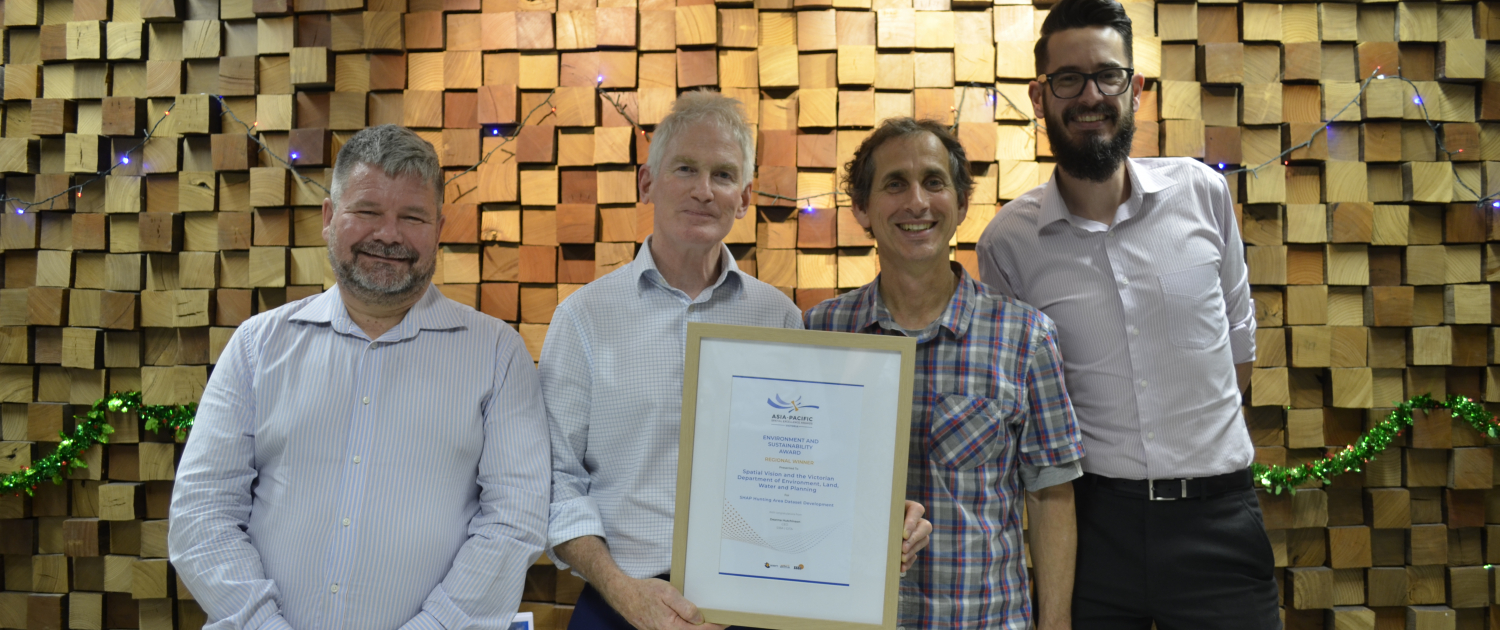
Our recent work on the SHAP Hunting Area Dataset Development project, in conjunction with the Victorian Department of Environment, Land Water and Planning has been recognised at the APSEA Awards dinner in Melbourne, winning the award for Environment and Sustainability in Victoria.
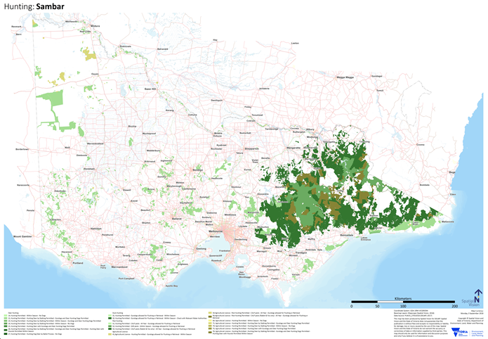
Spatial Vision was commissioned by the Department of Environment, Land, Water and Planning to create a series of hunting area datasets across public land in Victoria. The purpose of the project was to support the implementation of core components within The Sustainable Hunting Action Plan 2016-2020 (SHAP) which requires development of a map set for Victoria showing where game hunting on Crown land is permitted. More specifically, the project aimed to confirm the process by which suitable hunting area spatial datasets were to be generated, implement this in the form of an automated process based on spatial datasets and rules, and then publish the output of this process into the DELWP corporate spatial repository as well as other platforms.